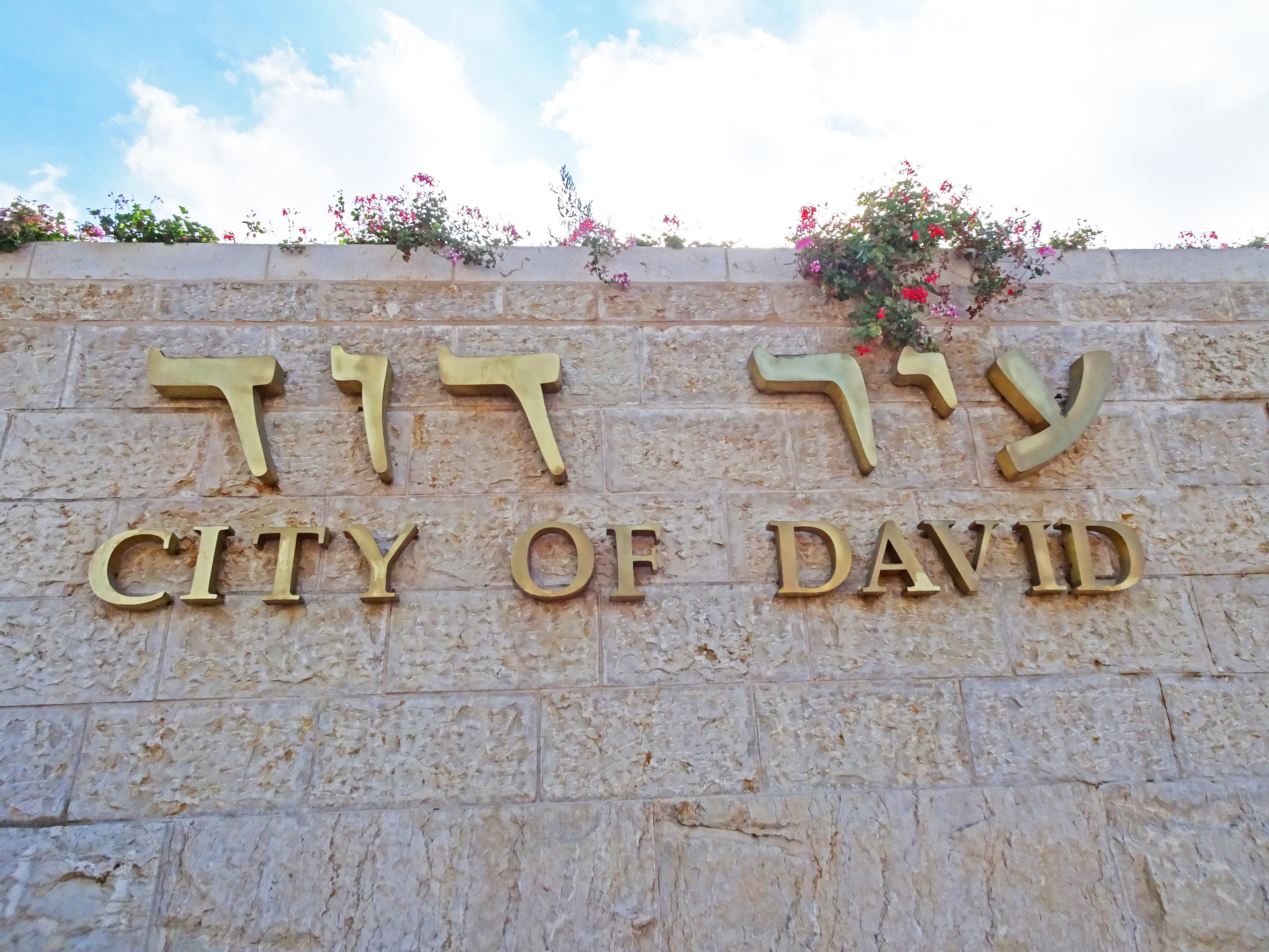


David then took up residence in the fortress and called it the City of David. He built up the area around it, from the terraces inwards. And he became more and more powerful, because the Lord God Almighty was with him. 2 Samuel 5:9-10
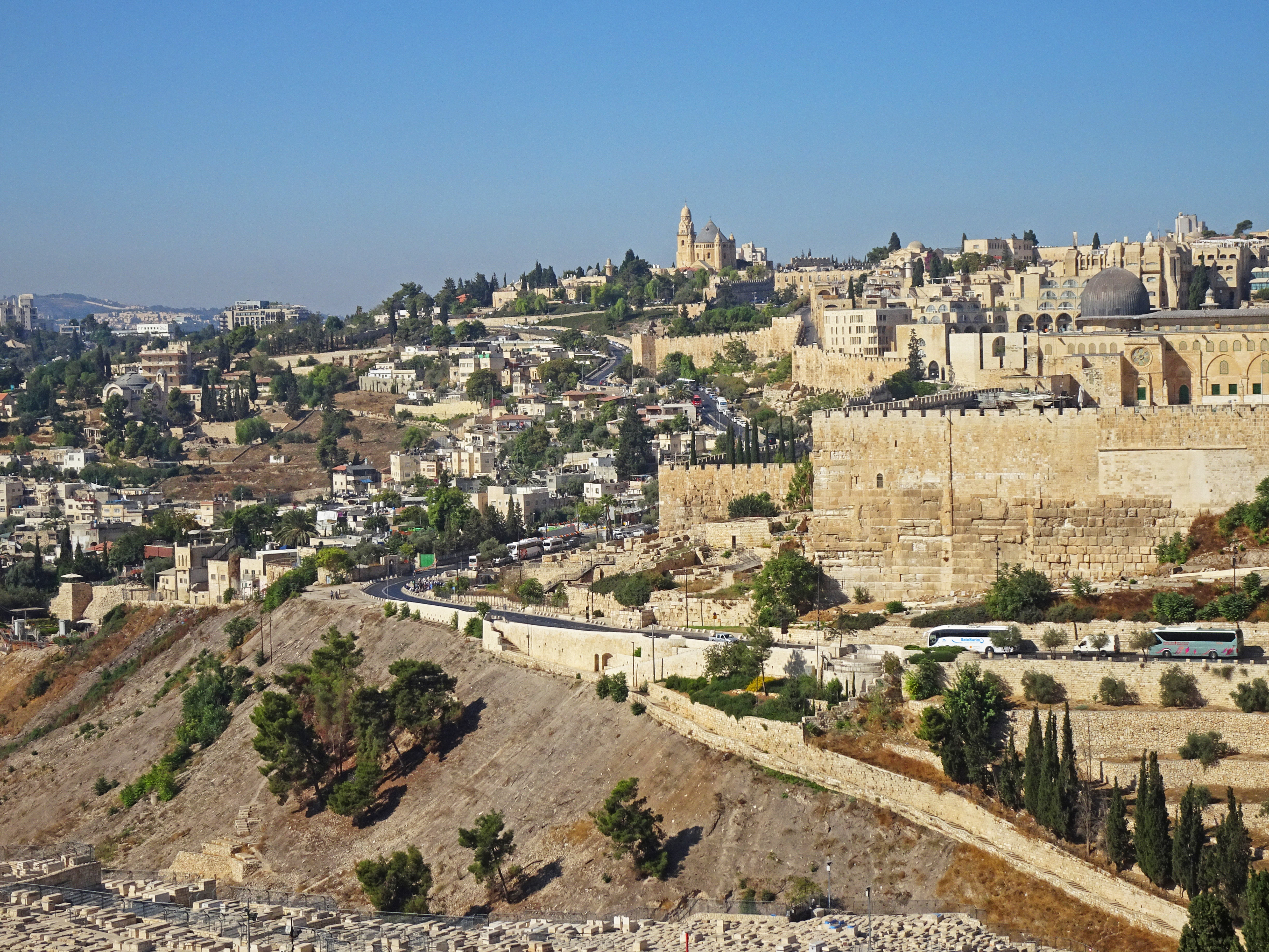
The view of the City of David from the Mount of Olives |
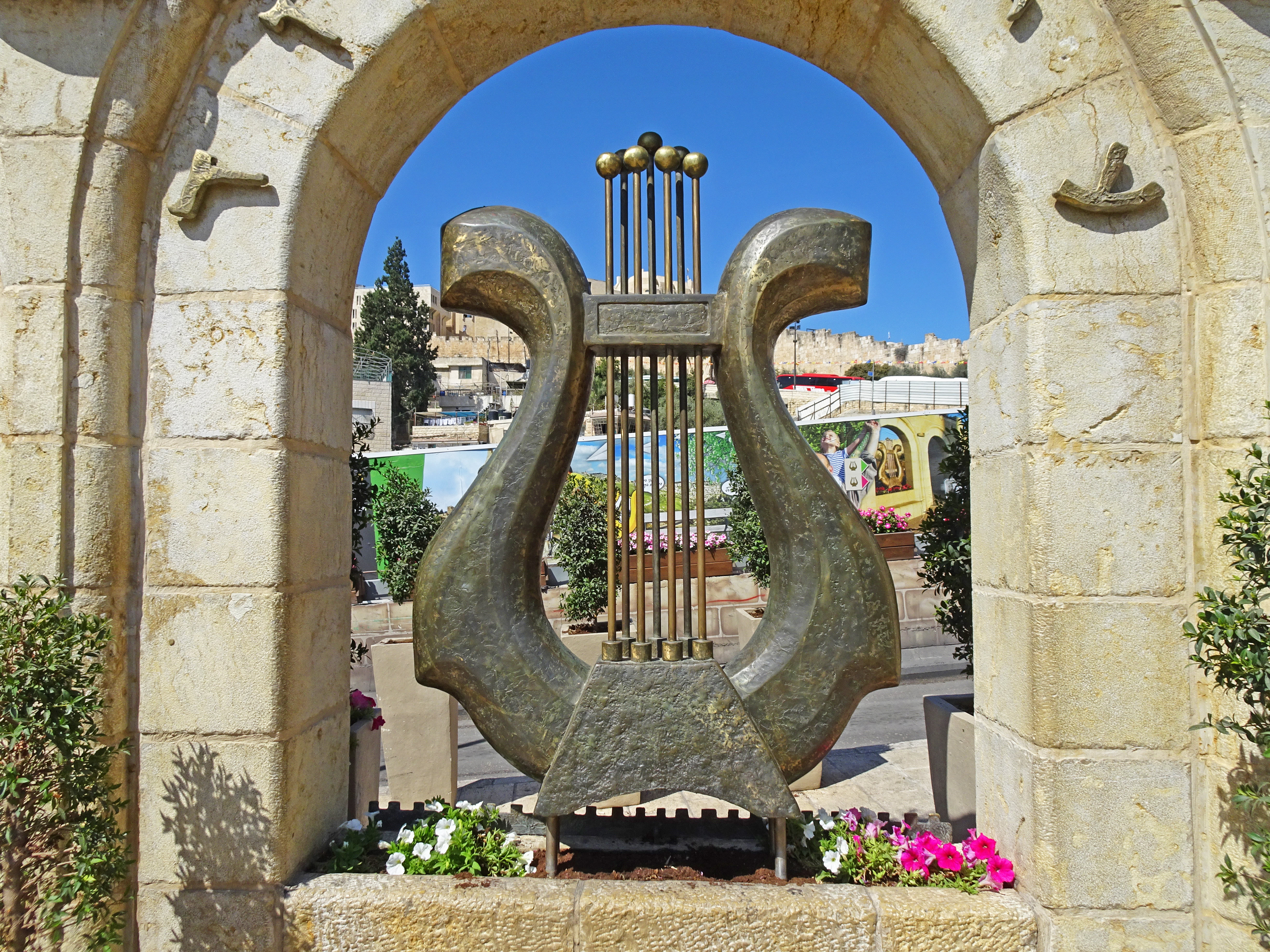
The City of David logo - a musical instrument called a lyre |
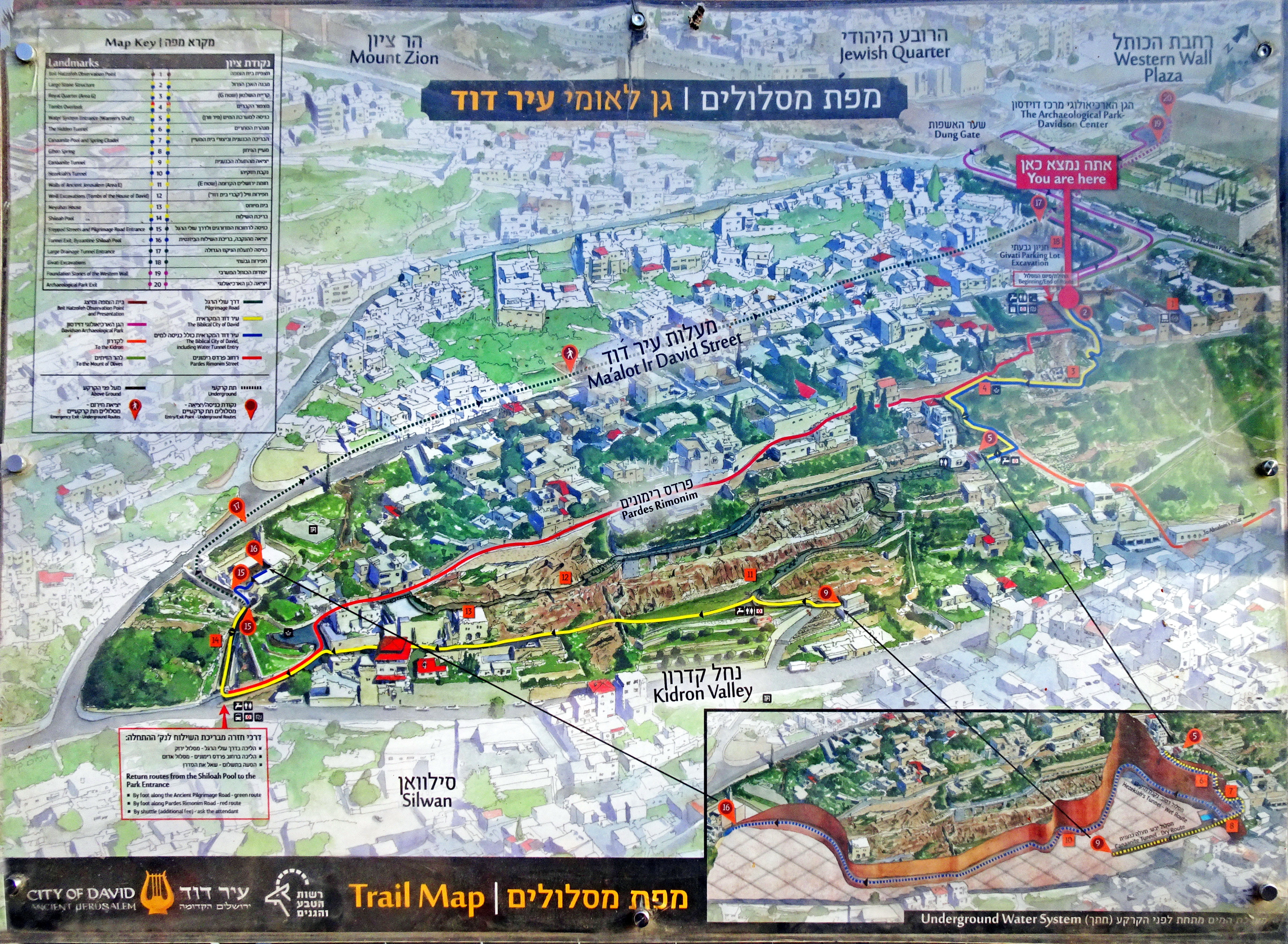
A walking trail map of the City of David |
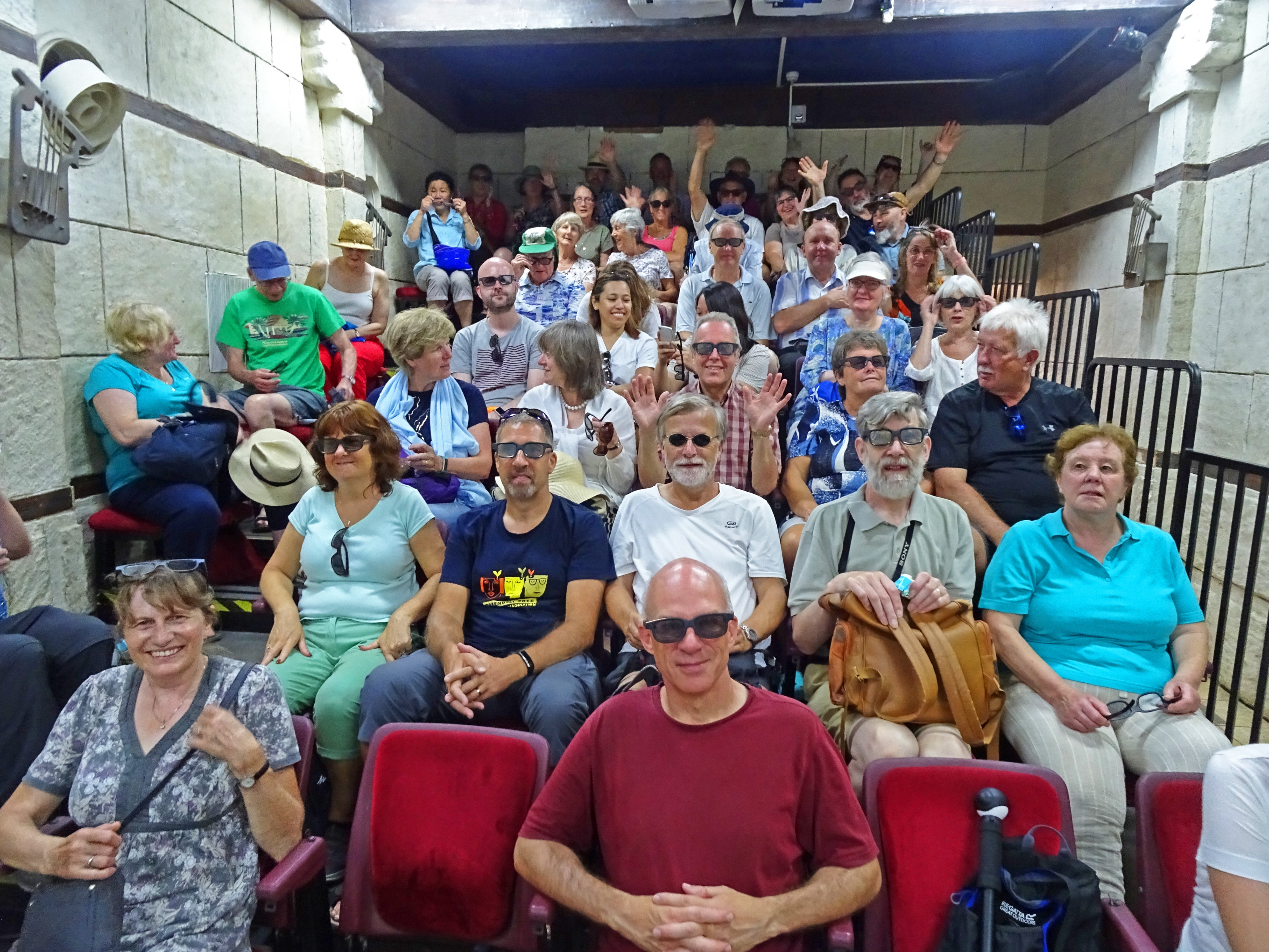
Waiting for the show to start at the City of David |

Replica floor tiles from the courtyard of the Second Temple, as shown in the Davidson Centre |
The entrance to Hezekiah's Tunnel |
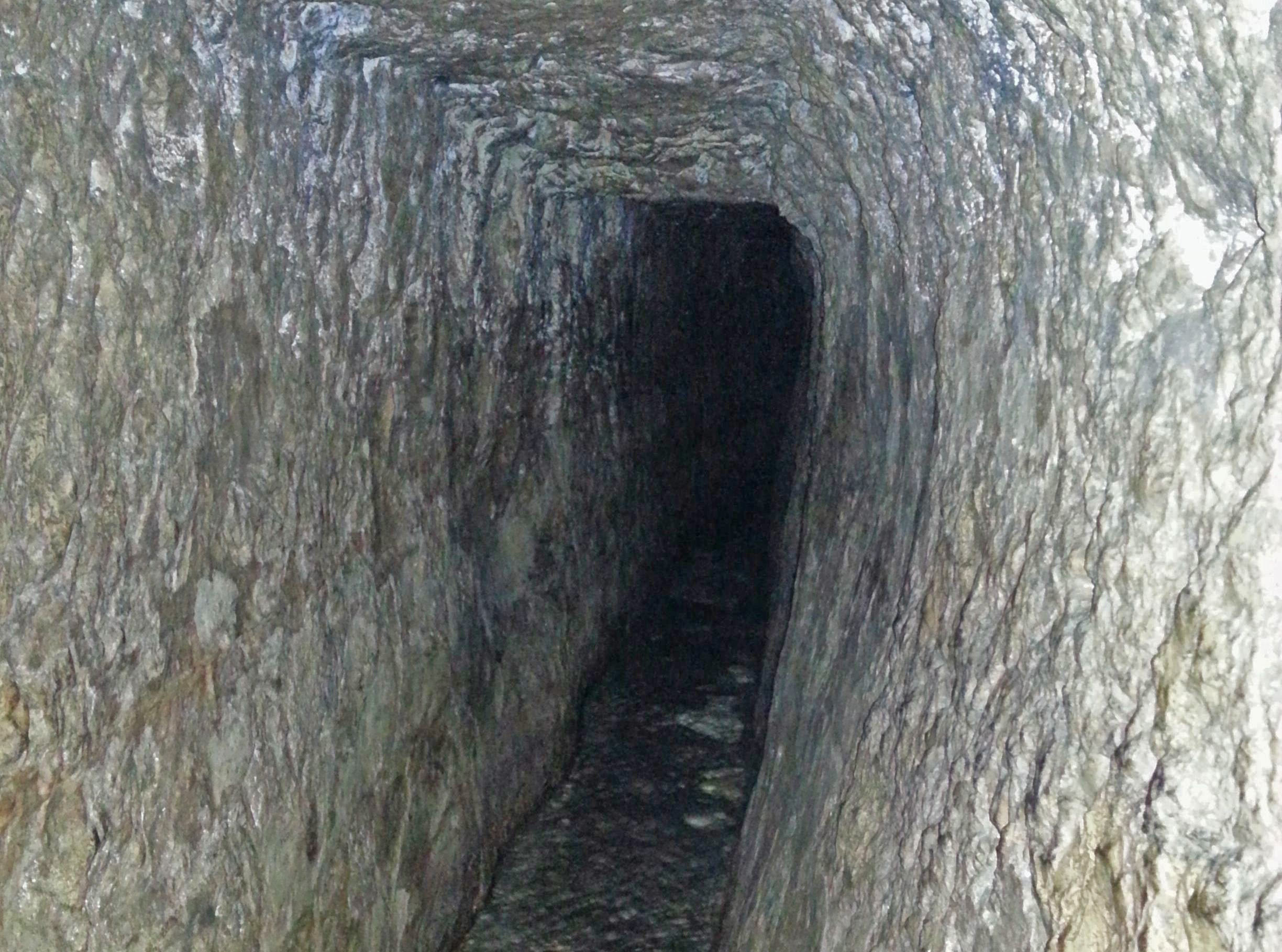
Hezekiah's Tunnel - see 2 Kings 20:20 |
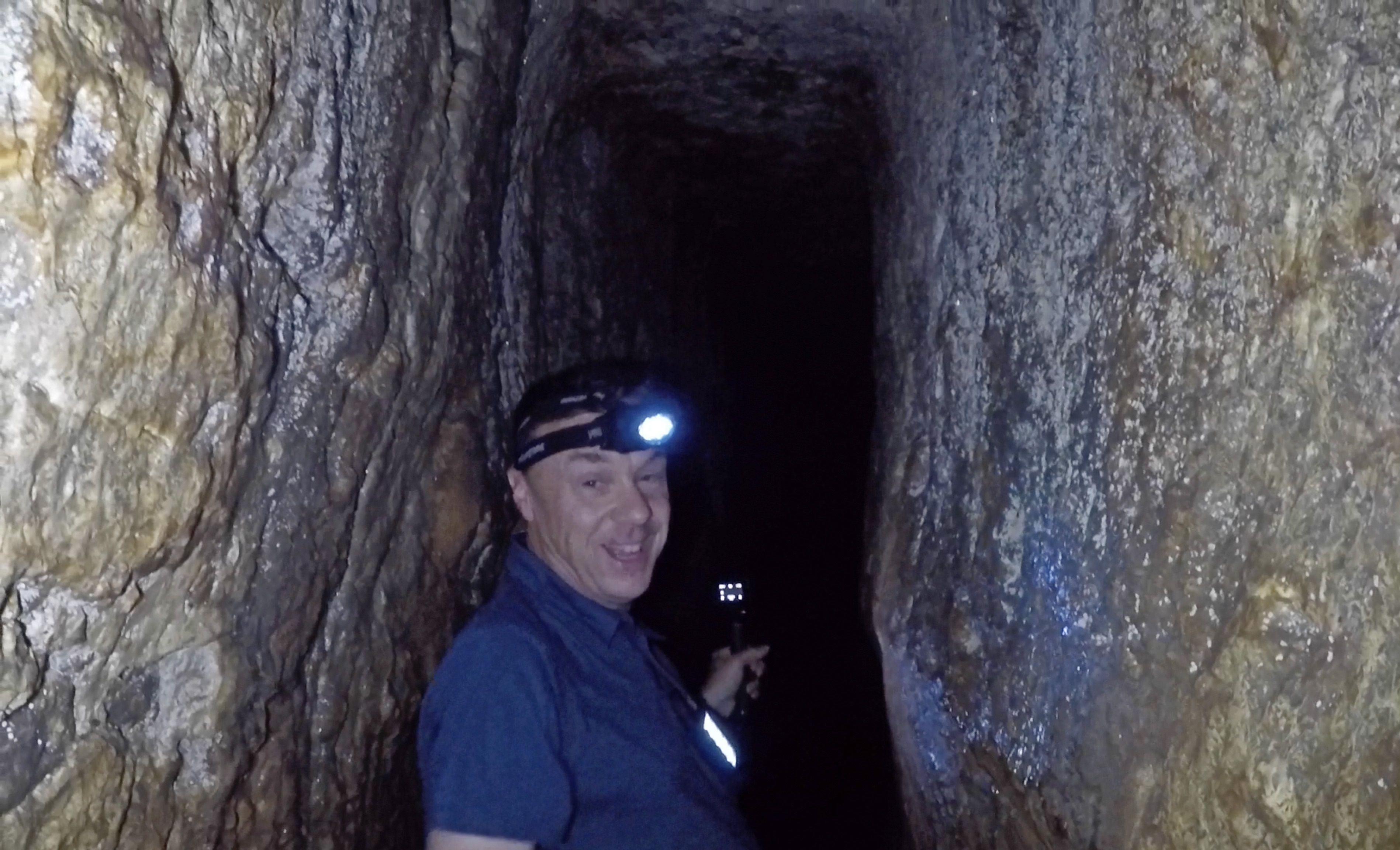
Enjoying the walk through the tunnel |
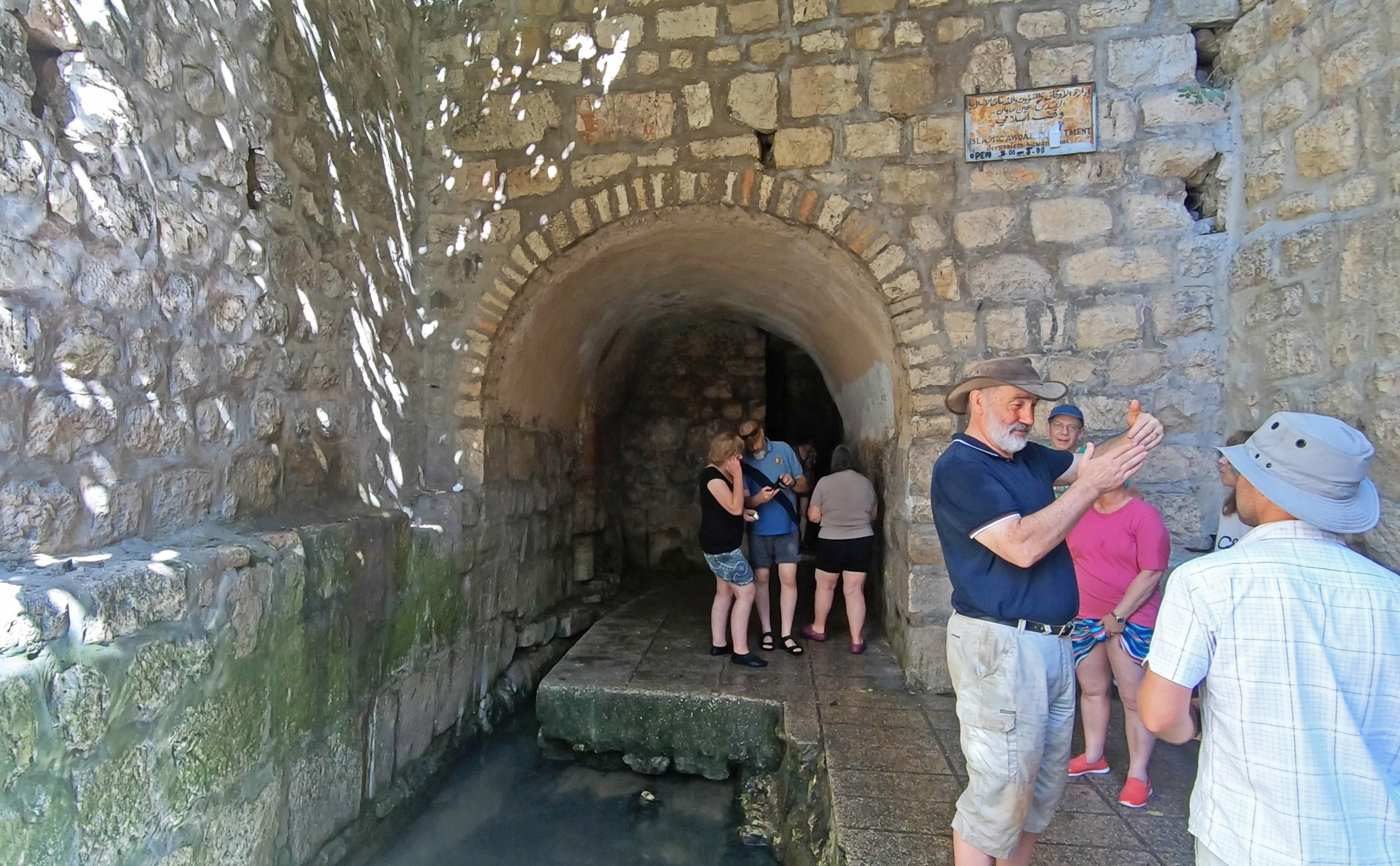
Discussing the walk through the tunnel at the exit |

The Pool of Siloam at the lower end of the City of David |
;)
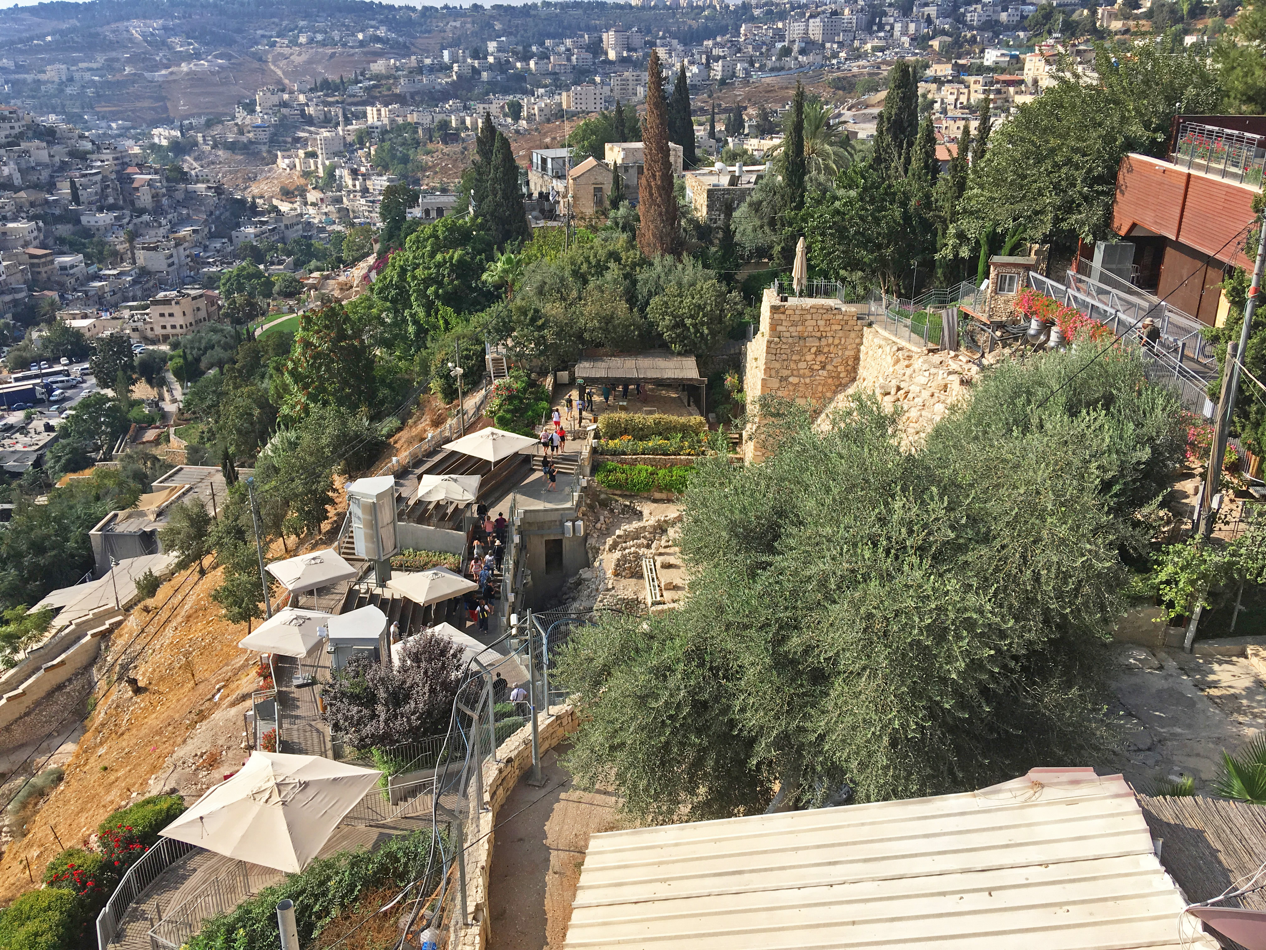
The view over the City of David (360 Panorama) |
|
Then Solomon began to build the temple of the Lord in Jerusalem on Mount Moriah, where the Lord had appeared to his father David. It was on the threshing-floor of Araunah the Jebusite, the place provided by David. 2 Chronicles 3:1
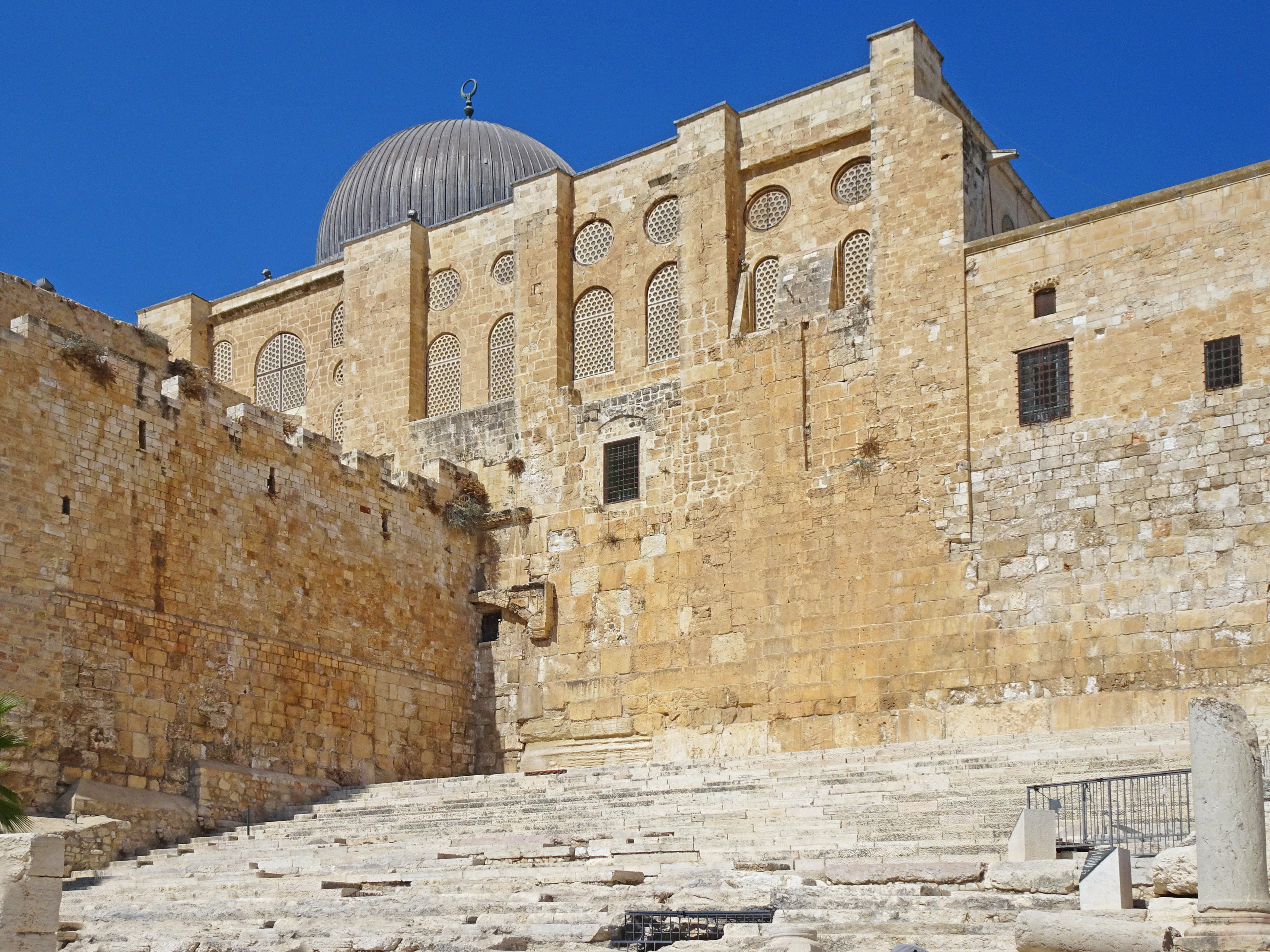
Steps at the southern end of the Temple Mount dating from the 2nd Temple period. |

Blocked up gates which would have provided access to the Temple courts - one for in and one out. |

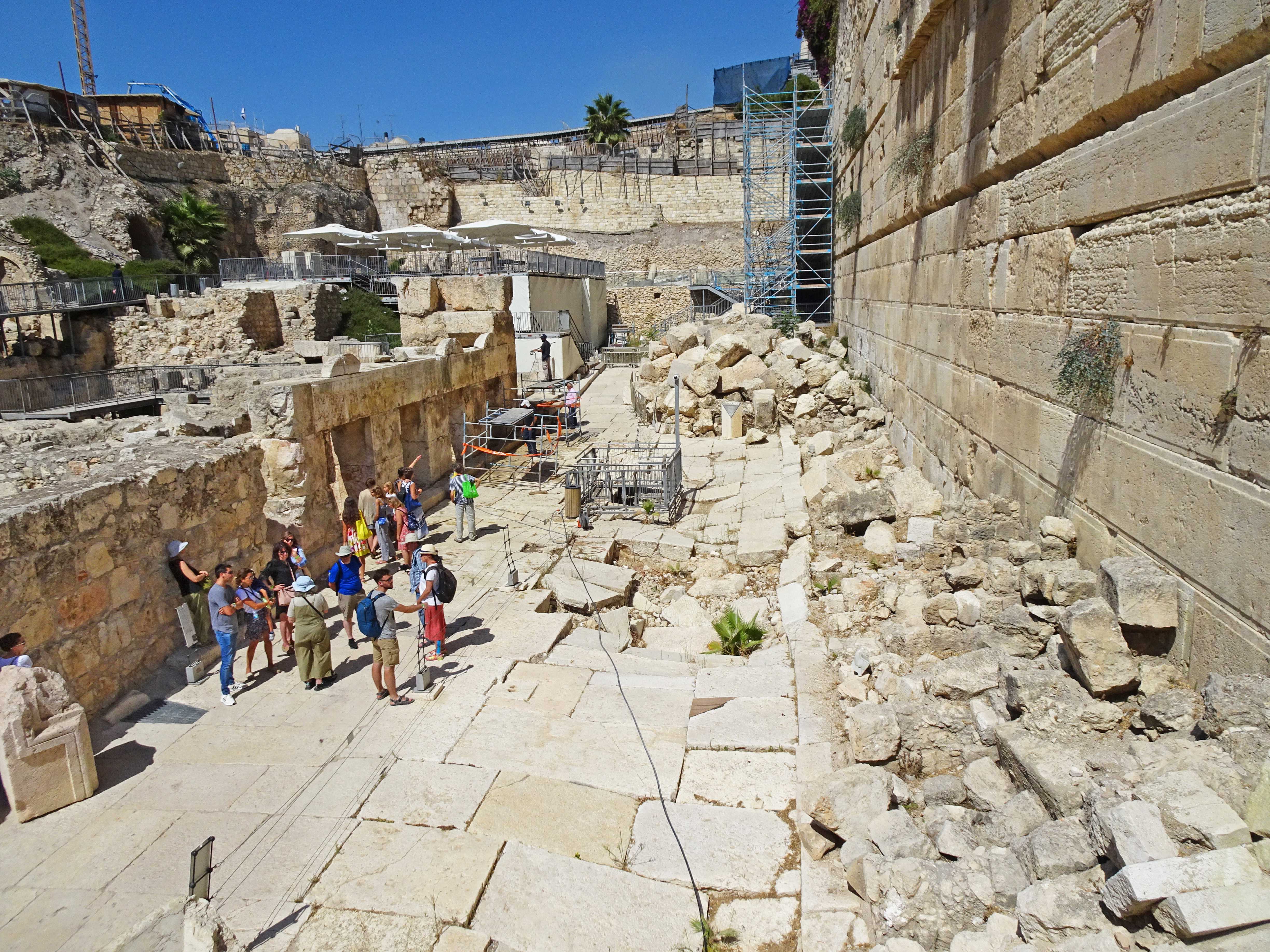
The view across part of the the southern end of the Temple Mount |

The security entry point at the southern end of Western Wall Plaza |
Remains of Jerusalem's Main Street dating from the 2nd Temple period |
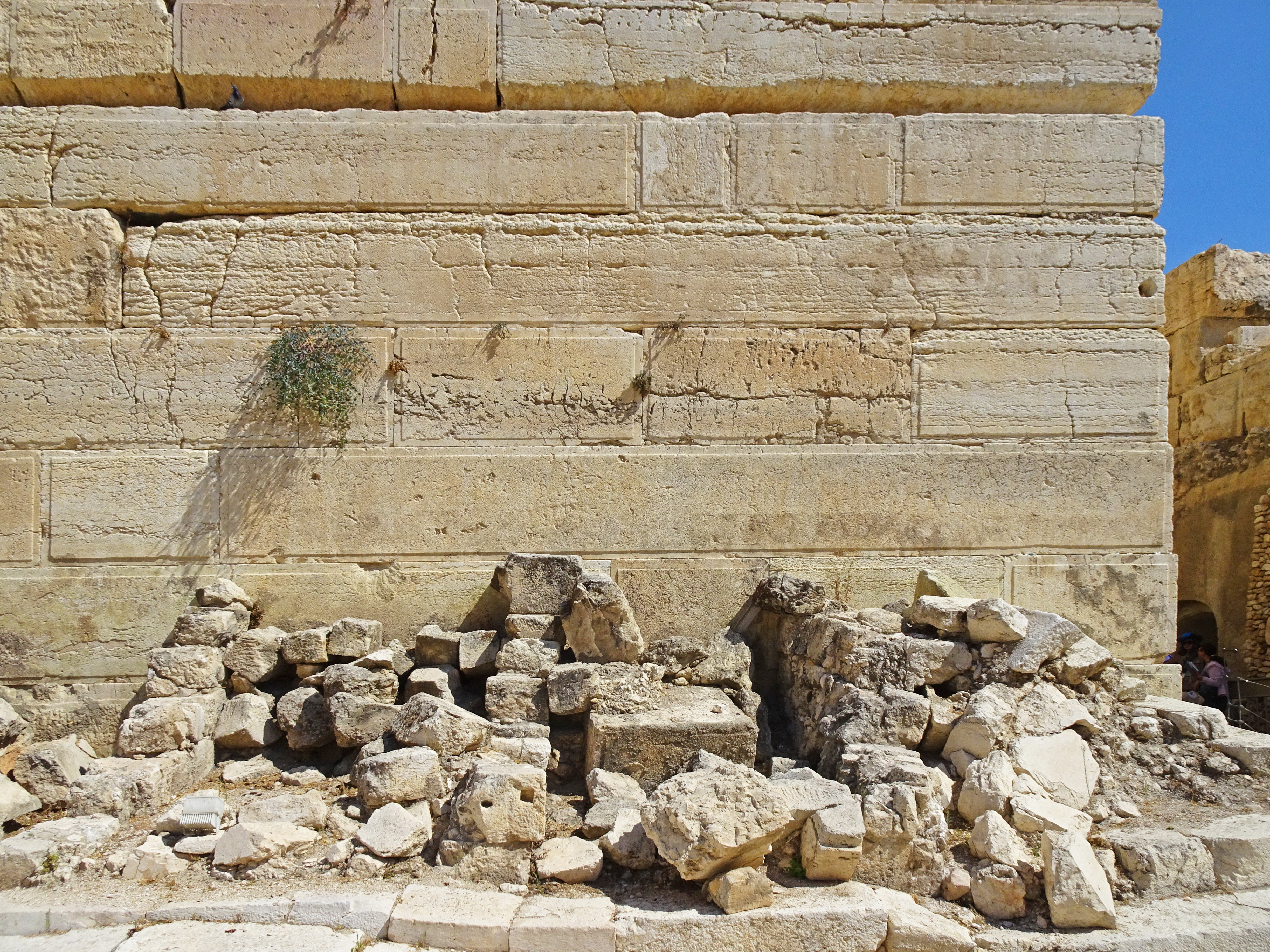
Rocks left thrown down after the destruction of the 2nd Temple in 70AD |
;)
The ruins at the southern end of the Temple Mount, dating from the 2nd Temple era (360 Panorama) |
|
;)
Steps up to blocked gates, which would have provided entry to the Temple (360 Panorama) |
|
